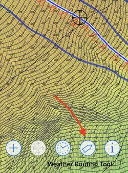
The weather routing tool has a number of interactive elements. A simple example of this is the dynamic path and fleet cursor which are shown as the map is scrolled around a weather routing solution space. This dynamic path shows the optimized path from the starting point to where the cursor is, which can be useful to explore the resulting weather route.
In addition, there are two buttons that can be used to move the start or target points, select among the weather routes generated, or change the GRIB time according to the cursors location.
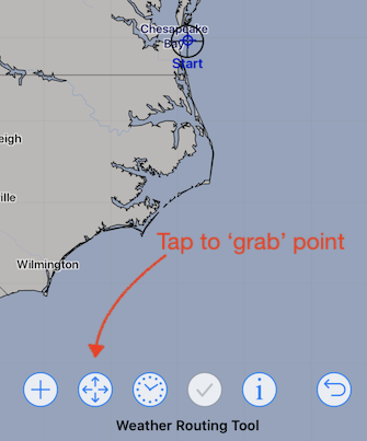
Moving the start or target point.
After a start or target point has been created, you can move it either interactively or by setting a new location using the points menu.
To adjust one of the points interactively, you first position the cursor over the point, grab it, scroll the map to a new location and then release it there:

Select or un-select a weather route.
Consider this family of weather routing paths, generated when using an NBM Oceanic GRIB file, containing probability wind fields.
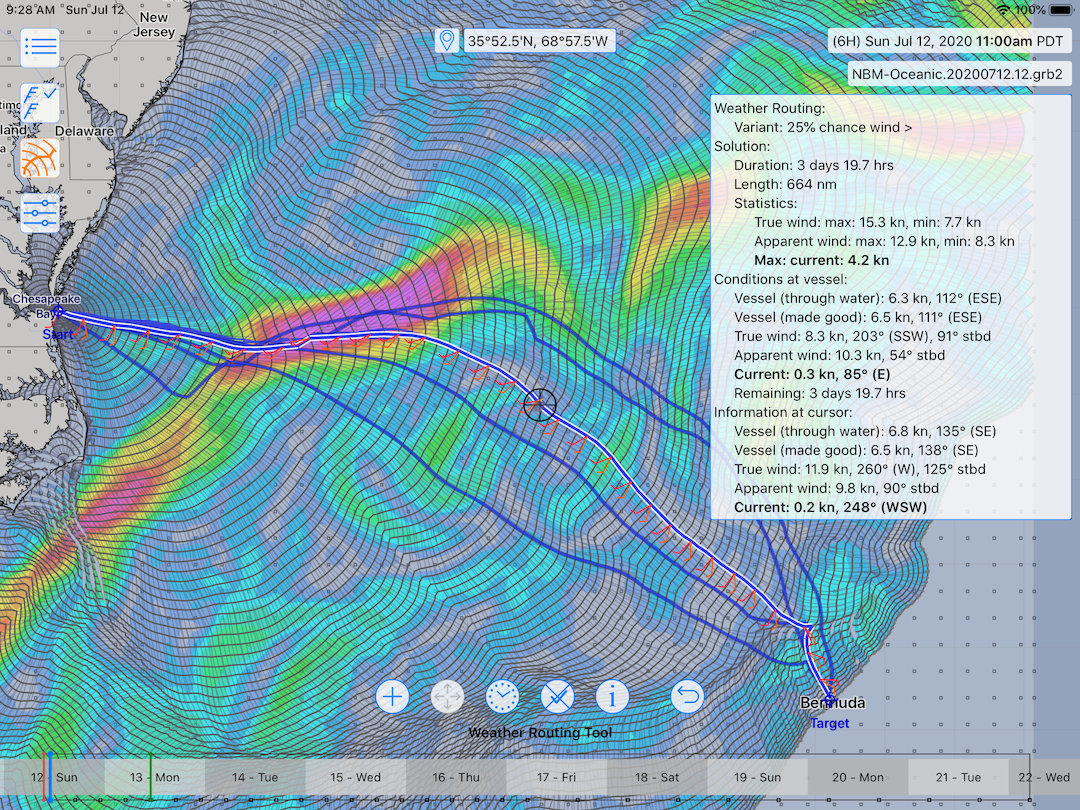
This GRIB model can be useful is seeing the range of possibilities, according to how accurate the weather forecast ends up being.
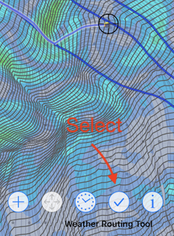
To select any of these solutions, pan and zoom the view so that the solution path is located under the cursor, and then tap the select button (the button showing a check mark.)
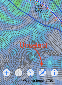
If there is currently a solution selected, it can be unselected.
Slide time.
It is useful to examine a weather routing path while viewing the GRIB file, showing the vessels location along the path along with the wind field at the time. This is easily accomplished.

Pan and zoom the map so that the cursor is over a region you wish to examine. Then tap the start sliding time button. Now, as you scroll the map, the system will calculate the closest point from the cursor to the path, find the time at that point, and adjust the GRIB time to correspond. This makes it easy to scroll the map, following a vessel along its route and examine changes in the wind.