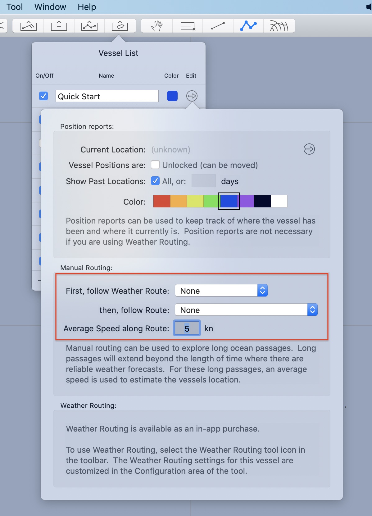
The manual routing area in the vessel settings editor, is briefly described. There is more detail in the manual routing area of the user manual.

Vessels have the ability to follow both weather routes, and then plain routes. When following a weather route, the position along the route is determined by the weather router solver at fixed points in time. At the conclusion of an attached weather route, a vessel can follow a plain route. The position along the plain route is determined by the vessels average speed.
Following a weather route.
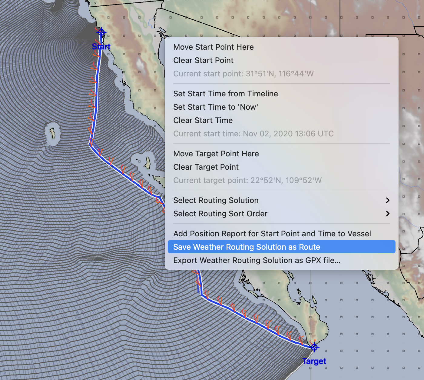
When a weather route is selected, the weather routing tools menu has an item that allows you to convert the WR solution to a route.

If you perform that operation, the weather route path is converted into a special form of route.

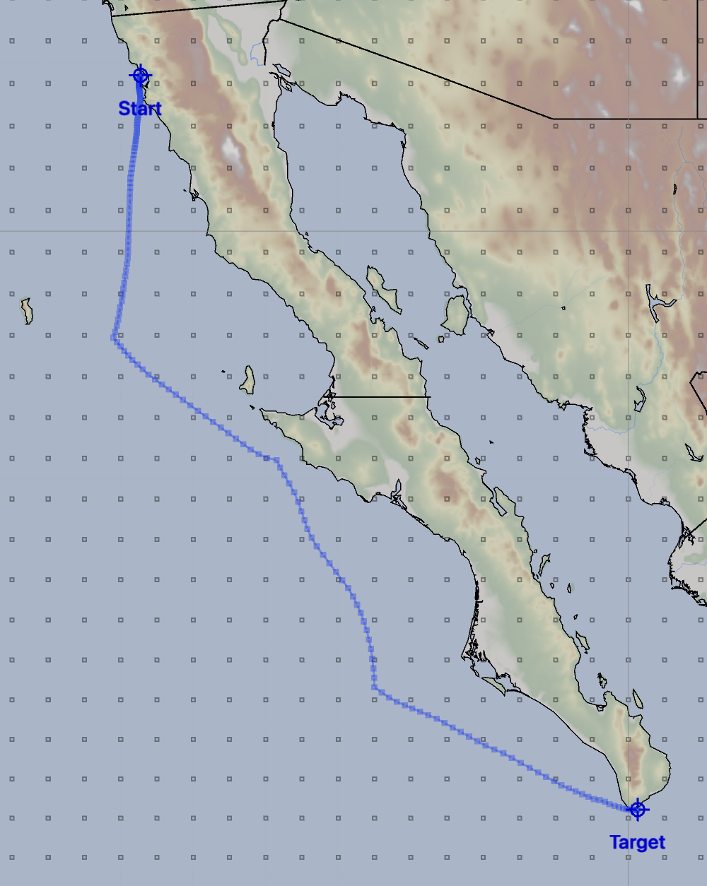
The route represents the same path as was shown in the weather routing tool.
Saving a series of these routes is one way for you to compare the evolution of a weather forecast over time. These new routes can be compared to the previous route to notice changes in the forecast. This can also be used to help you adjust the performance of your vessel.
These routes can be exported to other devices as GPX files.
To have your vessel follow the route created, open the vessel editor, as shown at the top of this page, set the popup menu labelled first, follow weather route to the name of the route created.
When a vessel is following a weather route in this way, additional information can be shown for the vessel while in the points and routes tool.
Deleting weather routes.
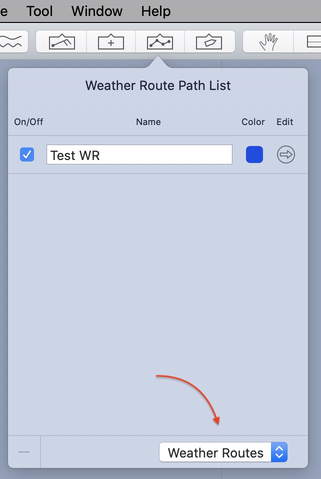
The Routes list is where you can delete the special form of routes created when you attach a weather route.

After opening the Routes list, switch its mode to show weather routes. These routes can then be edited in the normal ways: they can be copied, deleted, renamed or their color changed.